KIVib-Küste
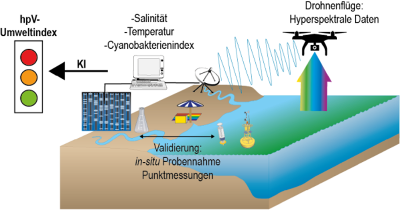
The KIVib Küste project aims to establish an AI-supported drone measurement programme to determine the probability of increased occurrence of human pathogenic Vibrio bacteria on the coasts of Mecklenburg-Western Pomerania (MV). State-of-the-art measurement methods are used for high-resolution recording of environmental conditions.
© IOW
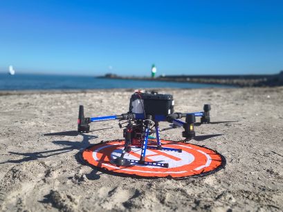
Twice a week, drone flights are carried out over the water from Warnemünde beach. A hyperspectral camera is mounted on the drone, which is used exclusively to capture and record images of water surfaces. The drone imagery is verified against environmental measurement data collected from the water. This data is derived from measurements taken in the water, directly within the flight path, at the same time as the aerial measurements are being carried out.
© IOW
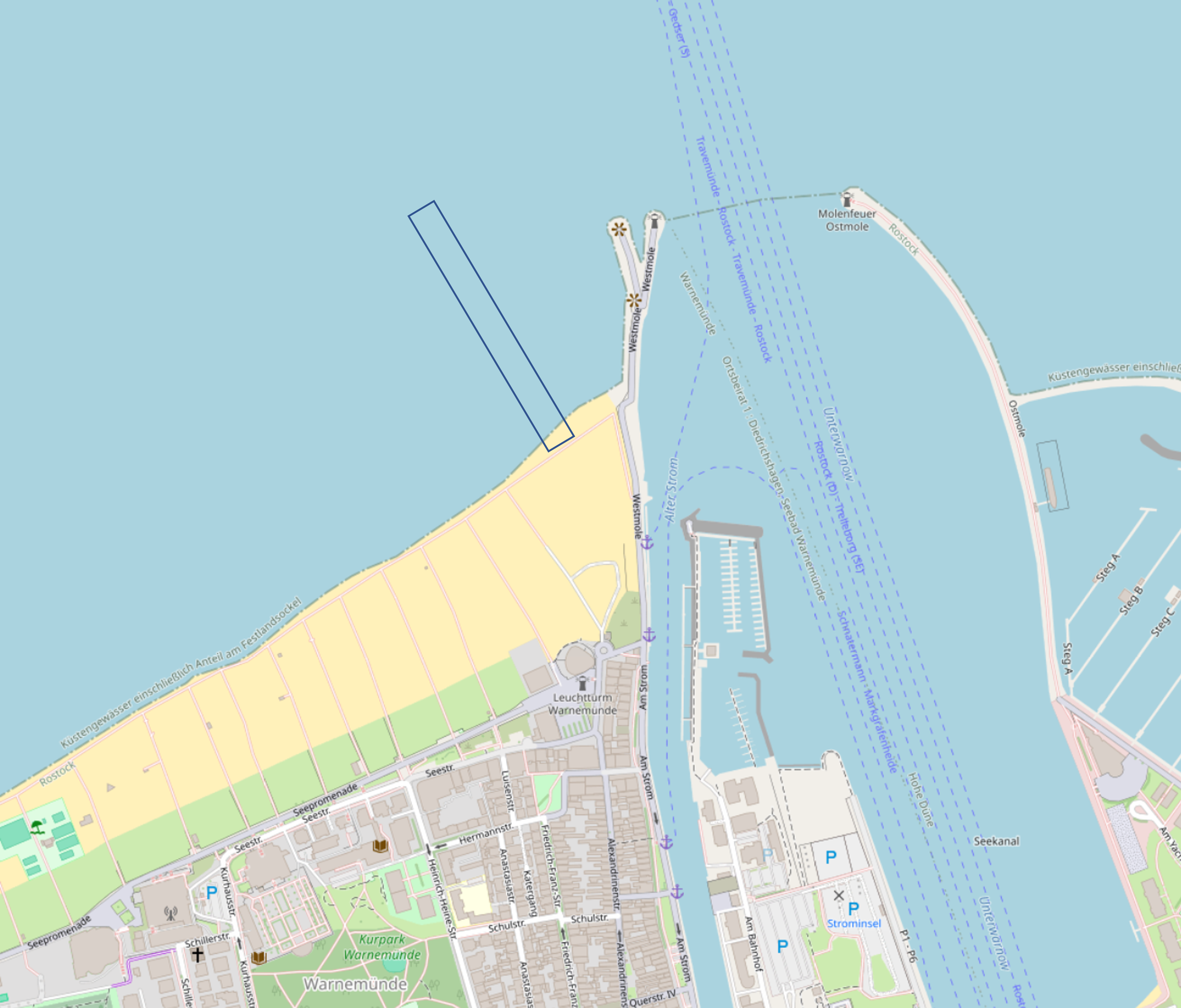
The flight area is situated to the west of the jetty at the mouth of the Warnow. It extends for approximately 500 metres in length, perpendicular to the water’s edge, and is a few metres wide. The drone flies at an altitude of around 50 metres, capturing a large number of individual images, which must subsequently be analysed for the colour spectrum of the water’s reflection.
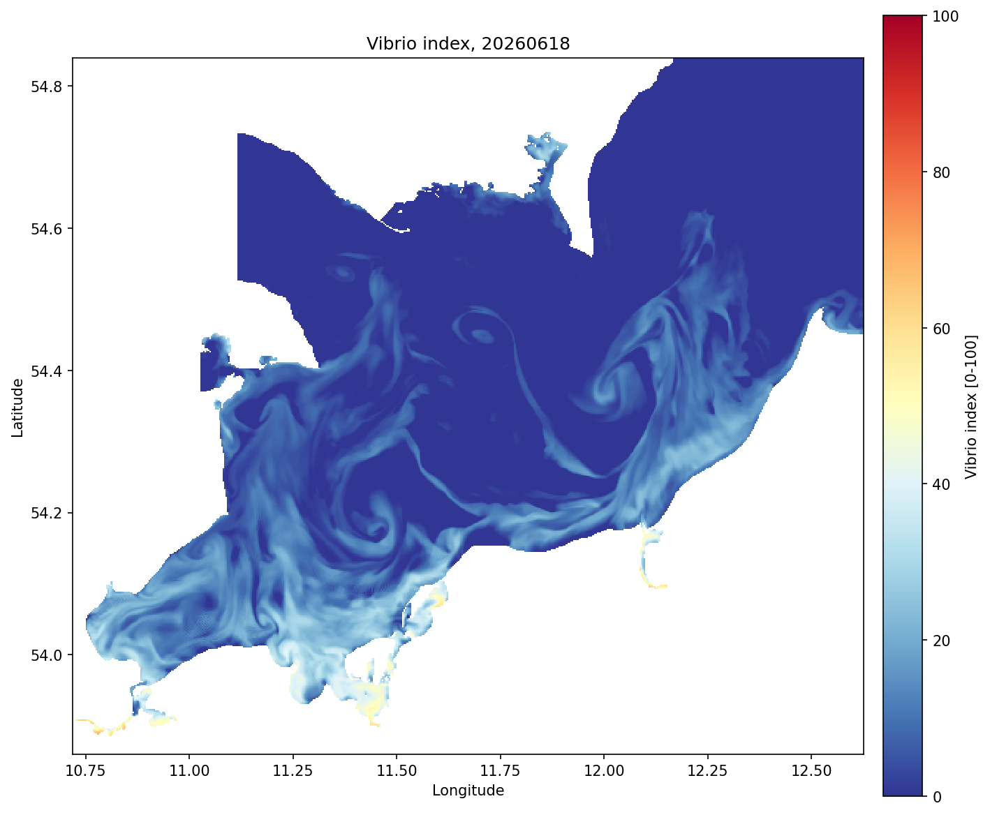
The data from the in-water measurements and the drone imagery are combined in computer models. Hydrodynamic models already established at the IOW are used for this purpose. The model can then enable spatial mapping and extrapolation to determine the probability of the Vibrio environmental index along the beaches of Mecklenburg-Western Pomerania.